[?]Subscribete a esta paginas web


|
Illinois County MapIllinois County Map 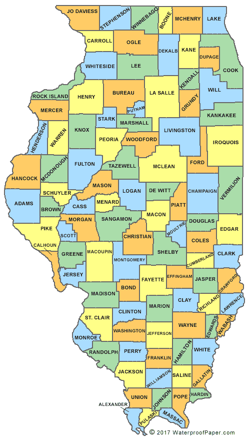 Digital Map Store Digital Map StoreIllinois is one of the 50 states that form the United States. This state has 102 counties. The largest county in Illinois is McLean County with an area of 1,184 square miles. Putnam county is the smallest with a total area of 172 square miles; 160 square miles of the county is land and the remaining 12 square miles is water. List of Counties of Illinois English United States Flag | United States Map | USA States Names | USA States and Capitals | USA States Abbreviations | United States Currency Español Bandera Americana | Estados Unidos Mapa | Moneda de USA Sources http://en.wikipedia.org/wiki/Putnam_County,_Illinois http://www.classbrain.com/artstate/publish/illinois_counties.shtml Other keyword used are illinois counties map, county map of illinois, illinois state map, and il county maps.
Return from Illinois County Map to Facts About Illinois
|

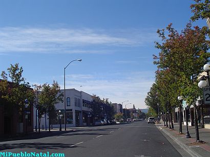
Medford, Oregon, United States
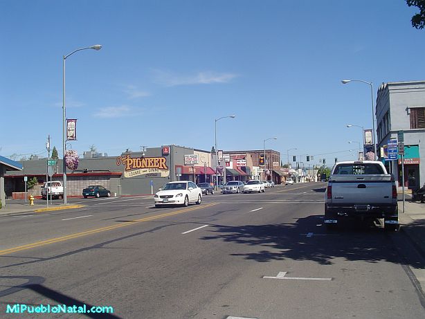
Central Point, Oregon, United States

Grants Pass, Oregon, United States

Crater Lake National Park, Oregon, United States