[?]Subscribete a esta paginas web


|
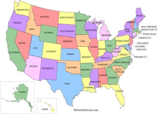
United States MapUnited States is a large territory occupying and area of approximately 3,539,227 sq mi (9,166,598 sq km). The United States is the world's third largest country in population and in area. This country is divided by 50 states including the states of Alaska and Hawaii who are separated from the main territory. The United States has borders with Canada and Mexico and it is flanked by the Pacific ocean on one side and by the Atlantic ocean on the other side. Its capital is Washington DC and its largest city is New York.
Reteun from united states map to towns in USA
|


Medford, Oregon, United States

Central Point, Oregon, United States

Grants Pass, Oregon, United States

Crater Lake National Park, Oregon, United States