[?]Subscribete a esta paginas web


|
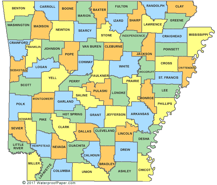
Arkansas County MapThe state of Arkansas has an area of 53,182 square miles which makes it the 29th biggest state in the United States. Arkansas has a total of 75 counties and its capital city is Little Rock. List of Counties of Arkansas English United States Flag | United States Map | USA States Names | USA States and Capitals | USA States Abbreviations | United States Currency Español Bandera Americana | Estados Unidos Mapa | Moneda de USA
Return from Arkansas County Map to Facts about Arkansas
|

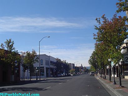
Medford, Oregon, United States
Central Point, Oregon, United States
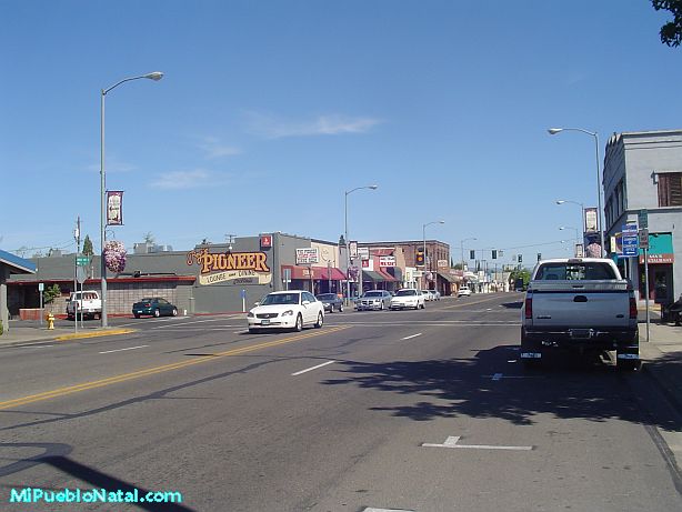
Grants Pass, Oregon, United States

Crater Lake National Park, Oregon, United States