


|
Map of OregonMap of Oregon counties 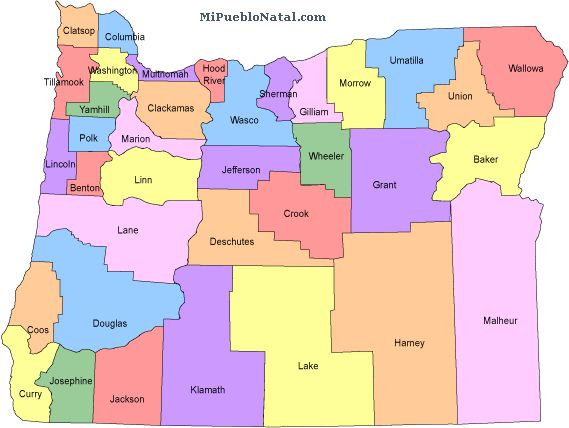 The state of Oregon has 36 counties and they are: * Baker * Benton * Clackamas * Clatsop * Columbia * Coos * Crook * Curry * Deschutes * Douglas * Gilliam * Grant * Harney * Hood River * Jackson * Jefferson * Josephine * Klamath * Lake * Lane * Lincoln * Linn * Malheur * Marion * Morrow * Multnomah * Polk * Sherman * Tillamook * Umatilla * Union * Wallowa * Wasco * Washington * Wheeler * Yamhill* English Other keywords used are maps oregon, map oregon, oregon map, and oregon state map. Return from Map of Oregon to facts about Oregon
|

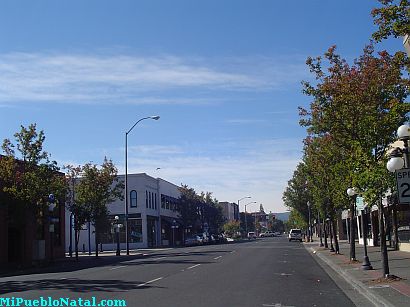
Medford, Oregon, United States
Central Point, Oregon, United States

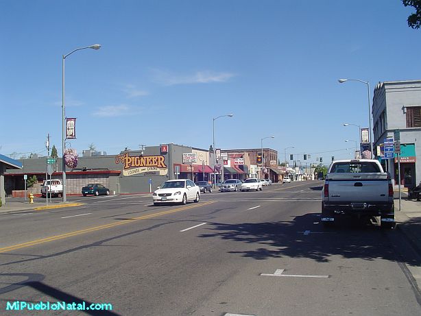
Grants Pass, Oregon, United States

Crater Lake National Park, Oregon, United States