[?]Subscribete a esta paginas web


|
Louisiana Parish MapLouisiana Parish Map 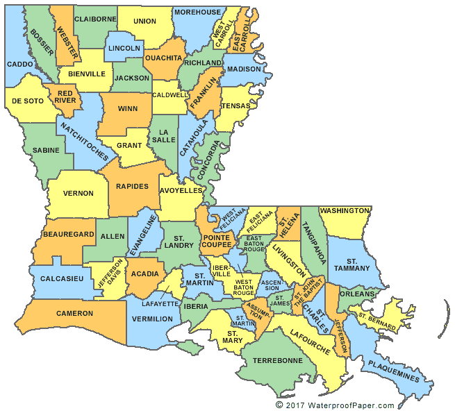 Louisiana has 64 Parishes (counties) and is located in the southern region of the United States of America. Louisiana covers a total area of 51,885 square miles which makes it the 31st largest state in the United States. The US Census Bureau estimated in 2008 that the state of Louisiana had a population of 4,410,796. English United States Flag | United States Map | USA States Names | USA States and Capitals | USA States Abbreviations | United States Currency Español Bandera Americana | Estados Unidos Mapa | Moneda de USA Sources http://en.wikipedia.org/wiki/Louisiana Other keyword used arelouisiana county map, louisiana map parishes, and louisiana parishes map.
Return from Louisiana Parish Map to facts about Louisiana
|

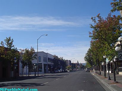
Medford, Oregon, United States
Central Point, Oregon, United States

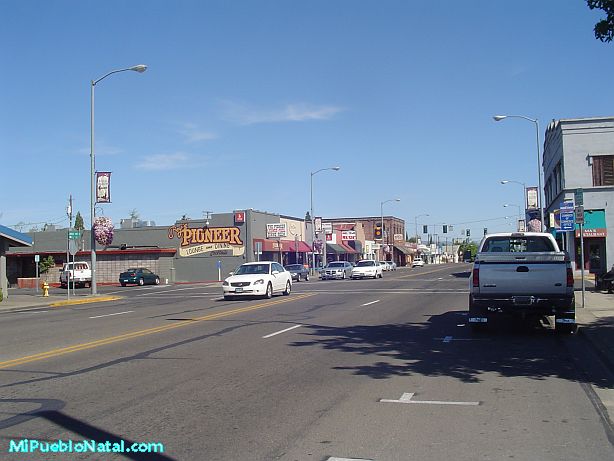
Grants Pass, Oregon, United States

Crater Lake National Park, Oregon, United States