|
|
Facts About Colombia
Leer esta pagina en Español
Facts About ColombiaLocation: South AmericaLanguage: The official language of Colombia is Spanish
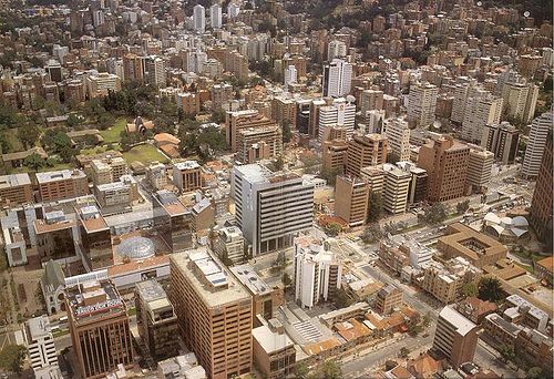
Currency: Colombian PesoPopulation: As of 2009, the population of Colombia was estimated to be at 43,677,372Land Size: 440,831 square miles) or 1,141,748 sq kilometers. Capital: The capital of Colombia is BogotáBorders: Colombia is bordered on the northwest by Panama, on the east by Venezuela and Brazil, and on the southwest by Peru and Ecuador.Land divisions: Colombia has 32 deparments (departamentos)Amazonas (Leticia)
Antioquia (Medellín)
Arauca (Arauca)
Atlántico (Barranquilla)
Bogotá *
Bolivar (Cartagena (Colombia)
Boyacá (Tunja)
Caldas (Manizales)
Caquetá (Florencia)
Casanare (Yopal)
Cauca (Popayan)
Cesar (Valledupar)
Chocó (Quibdo)
Córdoba (Monteria)
Cundinamarca (Bogotá)
Guainía (Puerto Inirida)
La Guajira (Riohaca>
Guaviare (San Jose del Guaviare)
Huila (Neiva)
Magdalena (Santa Marta)
Meta (Villavicencio)
Nariño (Pasto)
Norte de Santander (Cucuta)
Putumayo(Mocoa)
Quindío (Armenia)
Risaralda (Pereira)
San Andres y Providencia (Departamento) (San Andrés)
Santander (Bucaramanga)
Sucre (Sincelejo)
Tolima (Ibagué)
Valle del Cauca (Cali)
Vaupés (Mitú)
Vichada (Puerto Carreño)
Industries: Textiles, food processing, oil, clothing and footwear, beverages, chemicals, cement; gold, coal, emeralds. Agriculture: Coffee, cut flowers, bananas, rice, tobacco, corn, sugarcane, cocoa beans, oilseed, vegetables; forest products; shrimp. Major Cities: Arauca, Armenia, Barrancas de San Nicolas, Barranquilla, Bucaramanga, Cali, Cantarrana, Cartagena,Cartago Viejo, Caserio Villavicencio, Cincelejo, Cucuta, El Yopal, Florencia, Ibague, Inirida, Leticia, Manizales, Marroquin, Medellin, Mitu, Mocoa, Monteria, Neiva, Obando, Pasto, Pereira, Popayan, Puerto Carreno, Puerto Inirida, Quibdo, Riochacha, Riohacha, San Andres, San Jeronimo de Buenavista, San Jose de Cucuta, San Jose de Guacimal, San Jose del Guaviare, Santa Marta, Santiago de Cali, Sincelejo, Tunja, Valledupar, Villavicencio, Yopal
English
Colombian Map Colombian Flag Where is Colombia?
Español
Mapa de Colombia Bandera de Colombia
Resources:
https://www.cia.gov/library/publications/the-world-factbook/geos/co.html
http://www.infoplease.com/ipa/A0107419.html
http://www.marcianos.com/enc/colombia.html
http://itouchmap.com/?r=w&bk=c&DG=PPLA&c=co
http://farm1.static.flickr.com/158/345510182_74776b3605.jpg?v=0Other special words used to help you find this page are facts about Colombia, Colombia information, Colombia facts, facts Colombia, and Colombia info.
Return from facts about colombia to the home page
Enjoy this page? Please pay it forward. Here's how...
Would you prefer to share this page with others by linking to it?
- Click on the HTML link code below.
- Copy and paste it, adding a note of your own, into your blog, a Web page, forums, a blog comment,
your Facebook account, or anywhere that someone would find this page valuable.
|
|
Make Money with Clickbank
Medford, Oregon, United States
Central Point, Oregon, United States
Grants Pass, Oregon, United States
Crater Lake National Park, Oregon, United States
|


