[?]Subscribete a esta paginas web


|
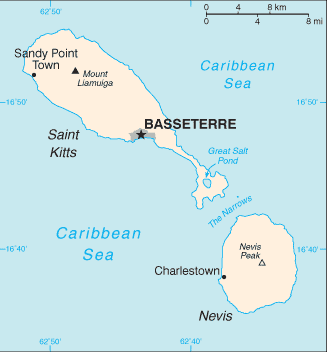
San Cristobal Mapa - Mapa de de las islas de San Cristobal y Nieves
Las islas de San Cristobal y Nieves estan divididas en 14 regiones; Christ Church Nichola Town, Saint Anne Sandy Point, Saint George Basseterre, Saint George Gingerland, Saint James Windward, Saint John Capesterre, Saint John Figtree, Saint Mary Cayon, Saint Paul Capesterre, Saint Paul Charlestown, Saint Peter Basseterre, Saint Thomas Lowland, Saint Thomas Middle Island, and Trinity Palmetto Point. English Caribbean Countries | Caribbean Map | St Kitts Flag | St Kitts Map Español Paises del Caribe | Mapa del Caribe | San Cristobal Bandera Sources https://www.cia.gov/library/publications/the-world-factbook/maps/maptemplate_sc.html Other tags used are mapa san cristobal,mapa de san cristobal, e isla san cristobal.
Regresar de San Cristobal Mapa a paises del Caribe
|

Tocoa, Colon, Honduras
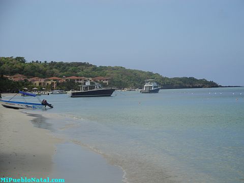
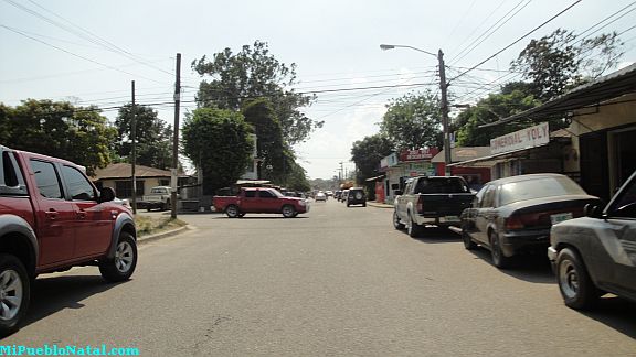
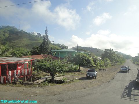
Roatan, Islas de la Bahia, Honduras
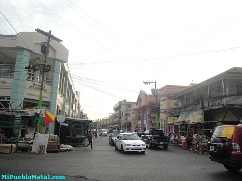
La Ceiba, Atlantida, Honduras
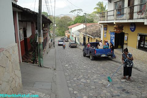
Copán Ruinas, Copán, Honduras

Medford, Oregon, United States
Jutiapa, Atlantida, Honduras