


|
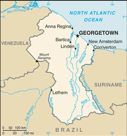
Mapa de guyanaMapa de Guyana Guyana esta localizada en America del Sur. Sus fronteras son con Brazil, Suriname, y Venezuela. Este pais es un poquito mas pequeño que el estado de Idaho. La capital de Guyana es Georgetown. Guyana tiene 10 regiones y ellas son; Barima-Waini, Cuyuni-Mazaruni, Demerara-Mahaica, East Berbice-Corentyne, Essequibo Islands-West Demerara, Mahaica-Berbice, Pomeroon-Supenaam, Potaro-Siparuni, Upper Demerara-Berbice, and Upper Takutu-Upper Essequibo.
Regresar de mapa de guyana a facts about guyana
|

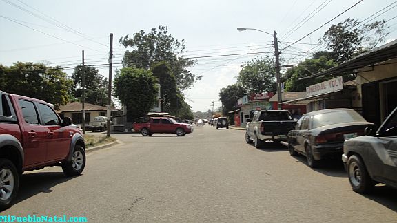
Tocoa, Colon, Honduras
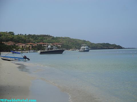
Roatan, Islas de la Bahia, Honduras
La Ceiba, Atlantida, Honduras
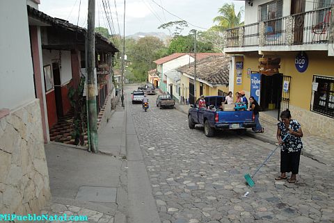
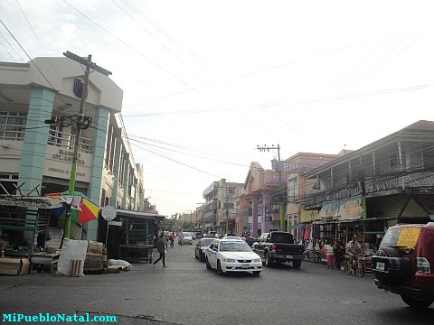
Copán Ruinas, Copán, Honduras

Medford, Oregon, United States
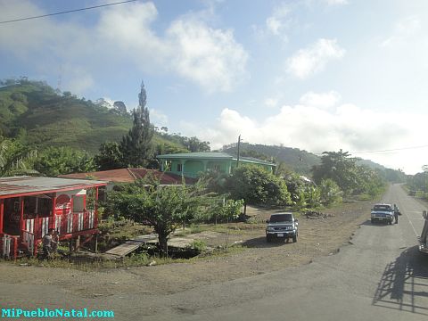
Jutiapa, Atlantida, Honduras