Home
World Countries
Productos
Canada
United States
Mexico
Guatemala
Honduras
Belice
El Salvador
Nicaragua
Costa Rica
Panama
Caribbean Countries
Colombia
Ecuador
Peru
Venezuela
Bolivia
Guyana
Chile
Argentina
Brazil
Uruguay
Paraguay
MiPueblo Blog
Directorio
Clasificados
Importante
Famous People
Chistes
Copa Mundial
$$$$
Salud Y Mas
Travel Links
Red Social
Germany
Advertise With Us
Terms of Service
About Me
Testimonios
American Lighthouses

Subscribete a esta paginas web
XML RSS
Add to Google
Add to My Yahoo!
Add to My MSN
Subscribe with Bloglines

Georgia County Map


Georgia County MapGeorgia County Map
Map Courtesy of Digital Map Store

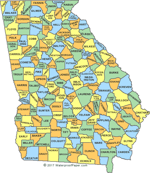
Georgia is one of the 50 states that form the United States. The state of Georgia has 159 counties. The largest county is Ware County (Waycross) which has an area of 906.6 square miles while Clarke County (Athens) is the smallest county with an area of 121.3 square miles.

Counties of Georgia


English
United States Flag | United States Map | USA States Names | USA States and Capitals | USA States Abbreviations | United States Currency

Español
Bandera Americana | Estados Unidos Mapa | Moneda de USA


Sources
http://roadsidegeorgia.com/county/georgia_county_map.html


Other keyword used are georgia counties map, map georgia county, map ga county, and ga counties map.


Return from Georgia County Map to Facts about Georgia

Return to United States Facts


 Subscribe to Mi
 Pueblo Natal and
 receive special
 updates, health
 tips, jokes, and
 other important information.

     First Name: 

Email Address: 


 We hate spam and for this very reason we  promise we will never sell your email and  we will not share it with anyone.

Powered by: www.Sponder4Less.com

Work From the Internet

Cheap tickets

Netflix Movies


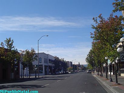
Medford, Oregon, United States


Central Point, Oregon, United States


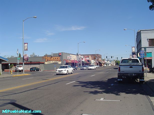
Grants Pass, Oregon, United States


Crater Lake National Park, Oregon, United States