[?]Subscribete a esta paginas web


|
Map of Libya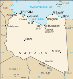 Map of Libya Length of Land Boundaries per Country: Please write your comments about your country References Return from Map of Libya to world country listing Return to the home page https://www.cia.gov/library/publications/the-world-factbook/geos/ly.html https://www.cia.gov/library/publications/the-world-factbook/maps/maptemplate_ly.html Thanks for visiting this page. |


Medford, Oregon, United States

Central Point, Oregon, United States

Grants Pass, Oregon, United States

Crater Lake National Park, Oregon, United States