Delaware County Map
Delaware County Map
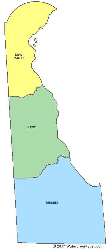
Map Courtesy of Digital Map Store
Delaware is very small. It covers an area of 1,954 square miles making it the 49th biggest state in the United States. Its capital city is Dover while its largest city is Wilmington. Delaware has only 3 counties which are Kent county, New Castle county, and Sussex county.
Counties of Delaware
English
United States Flag | United States Map | USA States Names | USA States and Capitals | USA States Abbreviations | United States Currency
Español
Bandera Americana | Estados Unidos Mapa | Moneda de USA
Other keyword used are county map delaware, de county map, county of delaware, and delaware counties.
Return from Delaware County Map to facts about Delaware
Return to United States Facts
Enjoy this page? Please pay it forward. Here's how...
Would you prefer to share this page with others by linking to it?
- Click on the HTML link code below.
- Copy and paste it, adding a note of your own, into your blog, a Web page, forums, a blog comment,
your Facebook account, or anywhere that someone would find this page valuable.
|