[?]Subscribete a esta paginas web


|
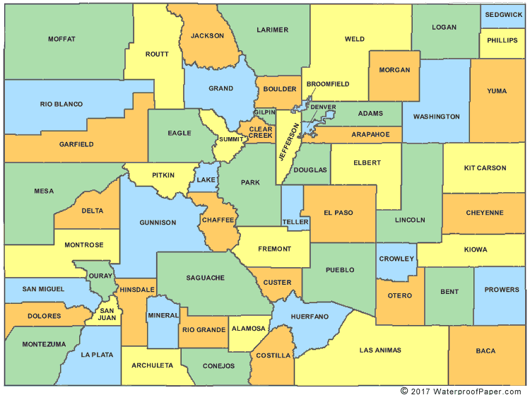
Colorado County MapColorado has 64 counties and its capital is Denver which is also its largest city. The state of Colorado covers an area of 104,100 square miles which makes it the 8th biggest state in the United States. List of the Counties of Colorado English United States Flag | United States Map | USA States Names | USA States and Capitals | USA States Abbreviations | United States Currency Español Bandera Americana | Estados Unidos Mapa | Moneda de USA
Return from Colorado County Map to facts about Colorado
|


Medford, Oregon, United States
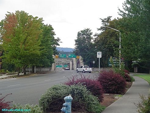
Central Point, Oregon, United States
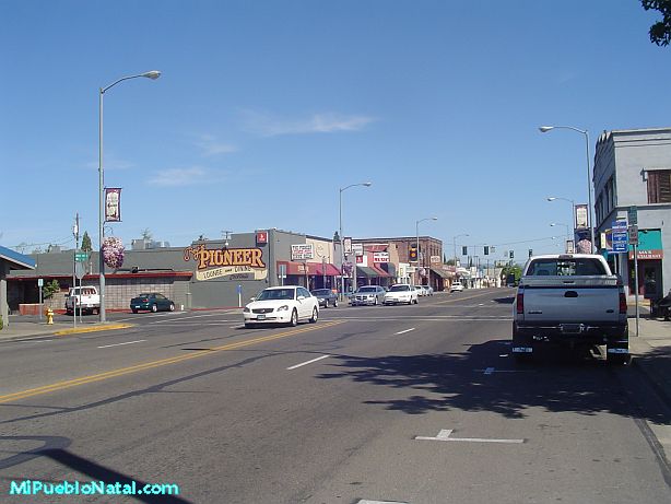
Grants Pass, Oregon, United States
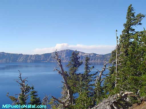
Crater Lake National Park, Oregon, United States